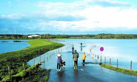
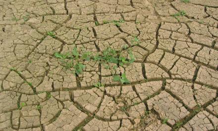
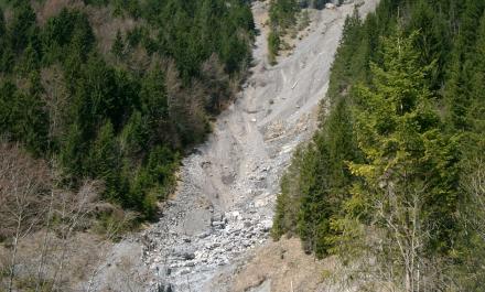
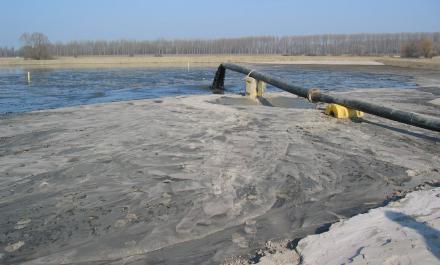
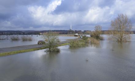
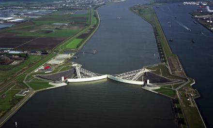
The main objective of this project is the development of joint consistent climate and discharge projections for the international Rhine basin on the basis of existing regional climate scenarios. These projections will help in the assessment of future changes of hydro-meteorological regimes in the Rhine basin and how such impacts influence hydrologic and hydraulic processes. The focus is on meso- to macro-scale catchments. Potential users of the results and the data, stakeholders and decisision makers are involved. RheinBlick2050 is an international project where research institutions, universities, public institutions and national (weather) services collaborate. The project is in close contact with the working group on climate of the International Commission for the Protection of the Rhine (ICPR). The overall project runtime is scheduled for two years from February 2008 to March 2010.
For hydrological research in the Rhine basin water level and discharge data with high temporal resolution and high quality are needed. Presently these requirements are not met. Aim of the HYMOG project is the compilation of consistent high resolution water level and discharge series for a large numb of gauging stations on the Rhine and about 50 tributaries from Lake Constance to the German Dutch border.
The CHR analyses flood situations in an attempt to compile recommendations in the field of flood forecasts- warnings and -management.
The Project Summary of applied processes for estimating flood discharges will help making available a tool that allows for the measurement optimal model viz to identify the most suitable model combination.
Following the flood situations of the past years, integrated management of the rivers area must now improve the protection against floods. Hydrological studies into the effectiveness of flood reduction measures are an important principle of this process, from a planning point of departure. Though flood management in itself is not a CHR task, the organization is responsible for the study of hydrological principles for a new style of river management.
The CHR DEFLOOD project will help to support sustainable flood management. It is aimed at developing techniques for analyzing the effectiveness of retention measures in the Rhine basin.
Climatic changes and intervention by man in the catchment area and along the Rhine and its tributaries may bring about a change in the discharge regime. The CHR has conducted various studies into this topic in recent years, as a basis for the development of sustainable water management. A study was carried out investigating long series of discharges, aiming to explain differences in series of measurements, e.g. as a result of changes in soil use and/or other anthropogenic intervention. The final report of this study (CHR report I-22) was published in January 2008.
Sedimentation and erosion can lead to problems in the navigable depth for shipping, to dehydration, to undermining of foundations, as well as to damage to nature and the landscape. The findings of the sediment projects will provide information which is of use for water management of the Rhine basin.
The Geographical Information System is a database for the Rhine catchment area, holding digitized geographical and hydrological parameters. This database also contains meteorological time series for many monitoring stations in the Rhine basin.
The Rhine Alarm model predicts the progress of pollution following the discharge of harmful substances. The CHR is responsible for the technical administration of the model: it updates the model to the changing circumstances and requirements, and also passes the model on to users.